First day of The River Within - Source to Sea from a kayak.
Cricklade and Lyd Well
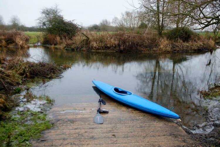
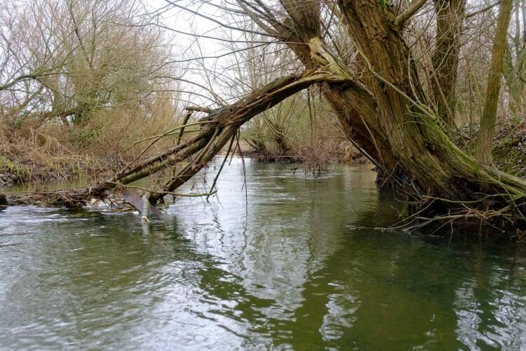
Today is a recci trip, the light is poor, flat grey sky, drizzling rain and dull. I have come here to check out river access points etc. and have driven to Cricklade, a small village in the Cotswold. It’s approximately 9 miles from the Source of the Thames. I didn’t know if the water upstream of Cricklade would be deep enough to paddle so I brought with me both a kayak and wellies for wading. The plan is to see how far I can follow the river towards the Source, the Thames path does not follow this section of the river closely. I am pleased to find quickly flowing water at least 2 feet deep and a concrete slipway providing easy access. As I climb into my boat the river banks are frozen and crispy. Paddling upstream against the flow, the river becomes narrow and twisting. Trees dangling their bare, wintry branches into the water are mixed with thorn-covered brambles creating prickly curtains across the water, which I have to carefully pick my way through, then duck under fallen tree trunks that partly block the river.
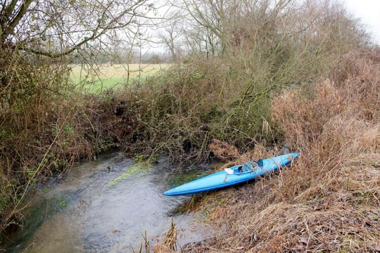
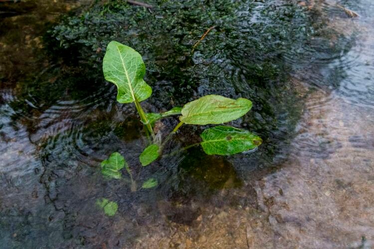
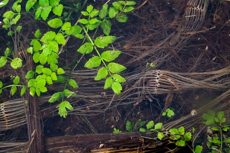
The river appears to split. Tall yellow grasses and dead bulrushes from last summer form a wall on the opposite bank. The Thames has become very narrow and overgrown so I paddle up the tributary on the right to see where it takes me. There is little sign of new life above water but below water new plants are growing vigorously, bright green leaves mixing with darker green mosses. As I turn yet another tight bend I am suddenly met by a thick barrier of bracken, brambles and a fallen tree that completely block the way. Driving the boat up onto a mud bank I step into deep gloopy mud, it’s the sort of mud that likes to suck the boots off your feet. Scrambling up the bank I find a large field lined with a wall of brambles between me and the river.
So I paddle back to the car and drive to the Source at Kemble.
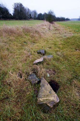
On the 30th of December, I had done a recce to the official Source and found a muddy field filled with cows and a dry ditch leading to a tombstone-shaped stone marking the beginning of the Thames – and the Thames path. A ring of smaller stones has been placed on the ground forming a circle around the spring from which water occasionally surges up from underground before flowing down the ditch. But there’s no water today – so I head south-east – downstream.
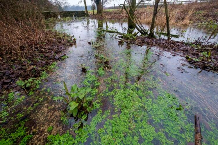
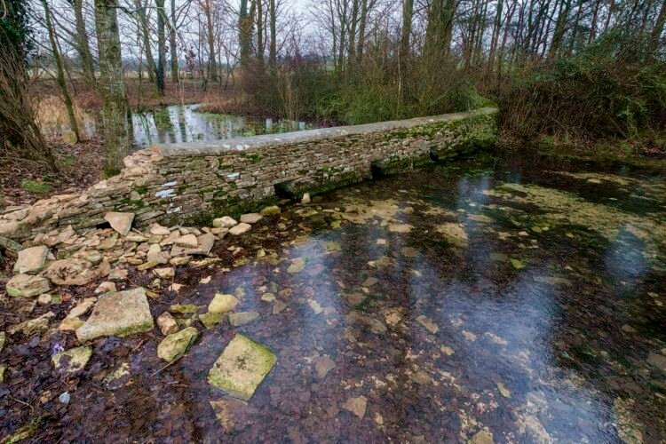
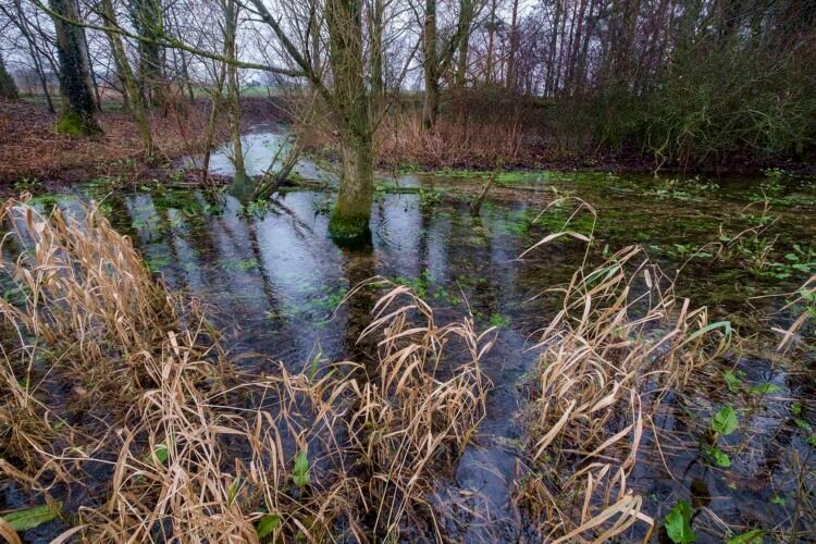
In wellies and waterproofs, with the grey sky still drizzling, I cross a field to follow the empty ditch. After a few hundred meters it leads me to a bridge and the first signs of water. About four inches deep and looking more like a puddle I can see that the water is actually tricking downstream through the grass and small water plants. I cross to the other side of the bridge and am amazed at what lies before me. A river of clear spring water peppered with a bright carpet of green plants. Water is coming up out of the ground all around me and little strings of bubbles appear and disappear. I find the old stone Roman well; Lyd Well, from which water is quietly surging up from underground and am on the edge of a forest, except it looks more like a mangrove swamp than a UK forest. Many of the trees are very old. A low crumbling bridge with several holes for the water to flow through crosses the river, linking the swamped forest on the north bank with fields on the south bank. I’m really looking forward to returning when the light is more interesting and with a camera in an underwater housing….
Please share this article if you like it!
